
TOOLKIT
To simplify access to MapBiomas coverage and transition data by year, a specialized toolkit was created. This tool enables users to export data for specific areas of interest, such as biomes, countries, provinces, municipalities, watersheds, protected areas, or indigenous territories.
Access the tutorial video to learn how to use the toolkit. The following data are currently available:
GOOGLE EARTH ENGINE
MapBiomas uses the Google Earth Engine. We provide the scripts to facilitate the access to the MapBiomas map collections.
To access and run follow the following instructions:
- With a Gmail account sign up for the Google Earth Engine Platform through this link https://earthengine.google.com
- A confirmation email will immediately arrive to access the platform.
- Upon receiving the confirmation notification, enter the link of the scripts you want to run.
- Adjust the parameters according to the requirement to obtain the desired map.
We encourage users to send us their suggestions so we can constantly improve it.
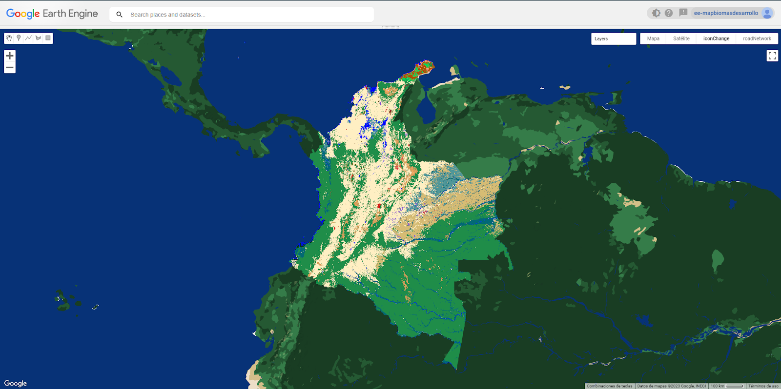
Access to MapBiomas collection on Google Earth Engine
Images and Maps collections are available to be accessed as an asset directly from Google Earth Engine, without the need to download or upload data. Here are the available products and their access IDs in Google Earth Engine:
- Mapas integrados finales de la Colección 3.0 de MapBiomas Colombia
projects/mapbiomas-colombia/assets/LULC/COLECCION3/INTEGRACION/COLOMBIA-1
- Mapas de transición entre años seleccionados de la Colección 3.0 de MapBiomas Colombia
projects/mapbiomas-colombia/assets/LULC/COLECCION3/INTEGRACION/mapbiomas_colombia_collection3_transitions_v1
- Mosaico de Imágenes Landsat para cada año de la Colección 3.0 de MapBiomas Colombia
projects/mapbiomas-colombia/assets/MOSAICOS/mosaics-3-ct
projects/mapbiomas-raisg/MOSAICOS/mosaics-6
projects/mapbiomas-colombia/assets/MOSAICOS/mosaics-3
projects/mapbiomas-raisg/MOSAICOS/col-amazonia-pathrow