
Explore the annual dynamics of 40 years of land cover in Colombia (1985–2024), based on MapBiomas Colombia 3.0 collection, covering the entire national territory.

The maps and statistics can be accessed by various territorial units: regions, biomes, departments, municipalities, watersheds, among others.
You will be able to find the main data of change by region

Encontrará el ranking departamental de la evolución de los bosques en 40 años
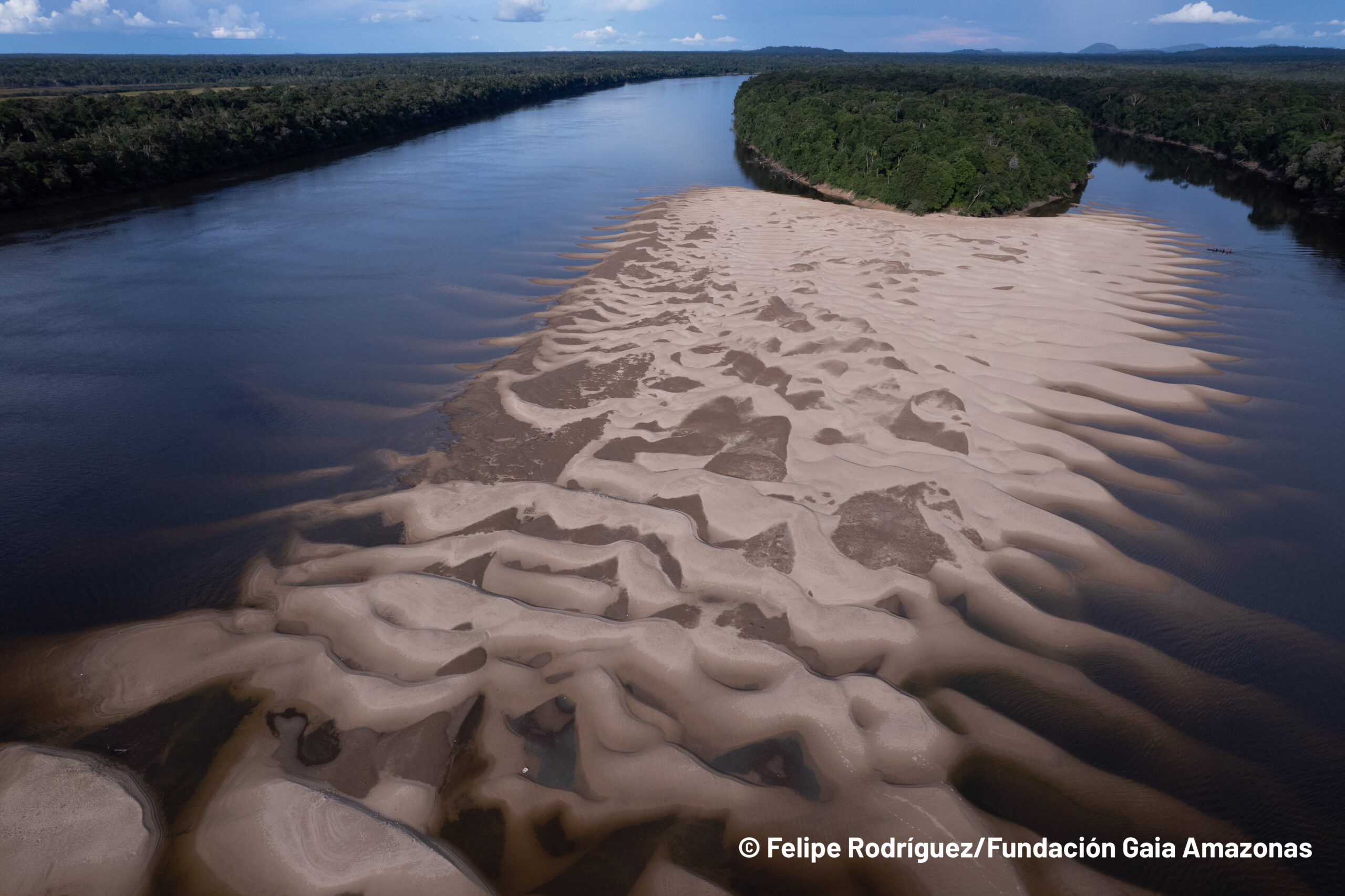
Explore how water surfaces are monitored on a monthly and annual basis, as well as transitions, trends, and types of naturalness of water dynamics in the historical series.
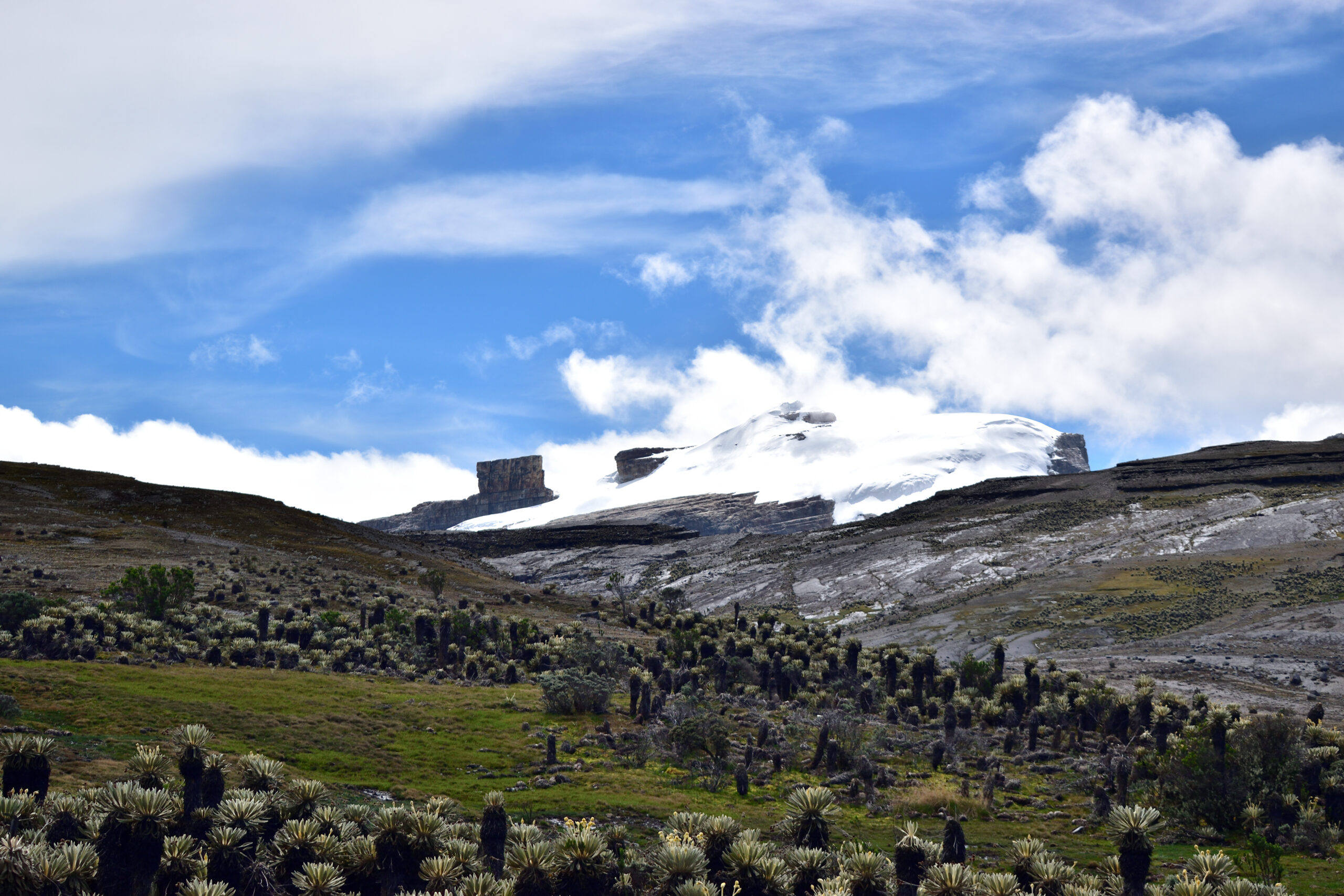
Explore maps and statistics of nearly 40 years of deglaciation and discover how the Nevado de Santa Isabel is nearing its imminent extinction
ACCESS THE PLATFORM
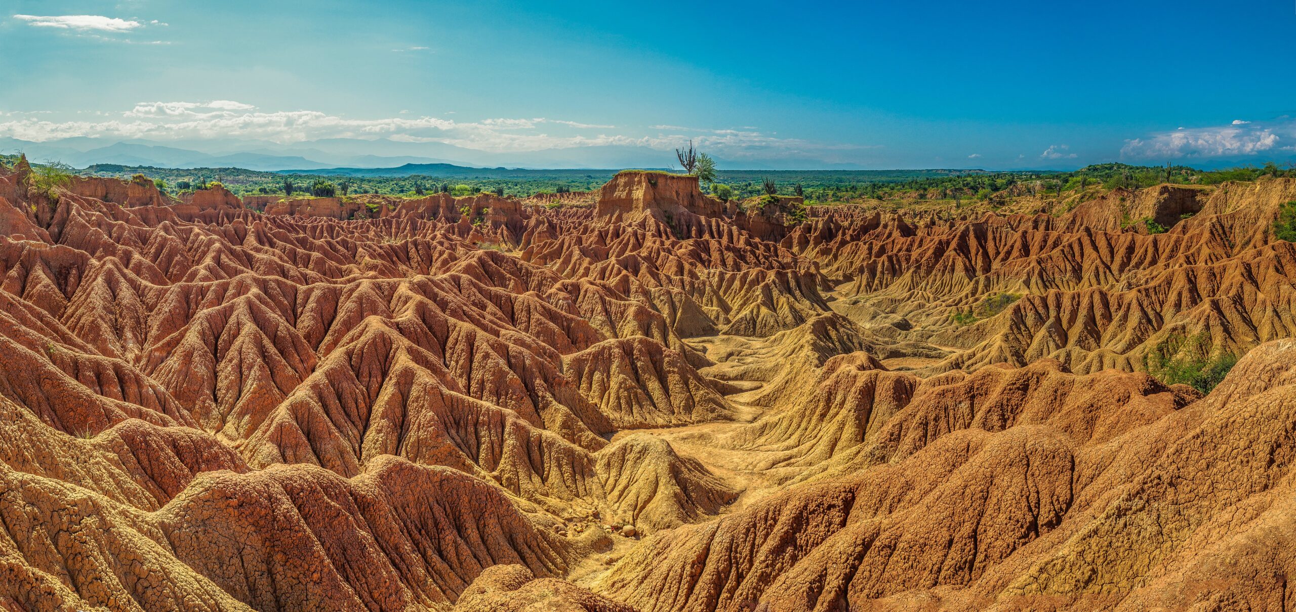
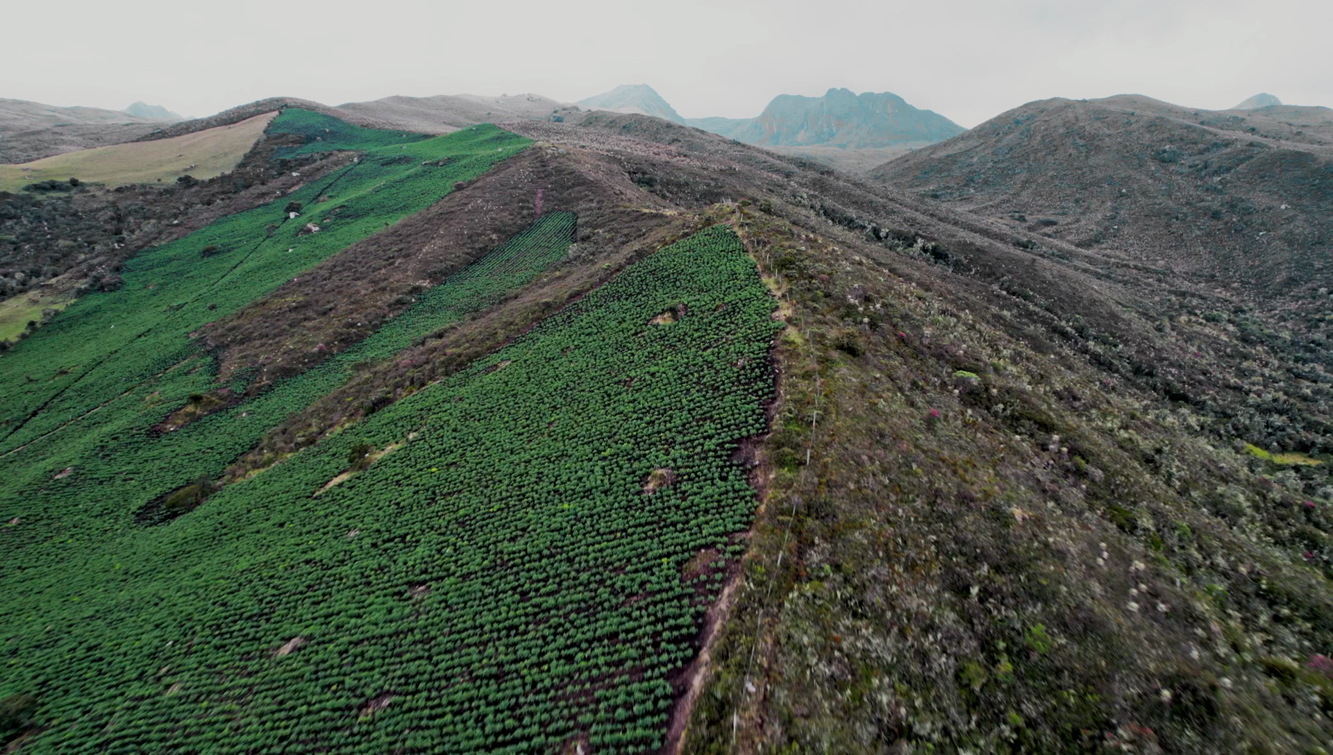
CHANGE OF LAND USE
ACCESS STATISTICS
Quality
Agua
Superficie Glaciar
Colombia
Caribe
Andes
Orinoquía
Amazonía
Pacífico
Valles Interandinos
Conozca la metodología de MapBiomas Colombia y cómo se organiza la red para generar los mapas y datos de cobertura y uso del suelo
Create custom maps
Join our forum
Access our FAQ
Data download